

Digital Mapping Services.
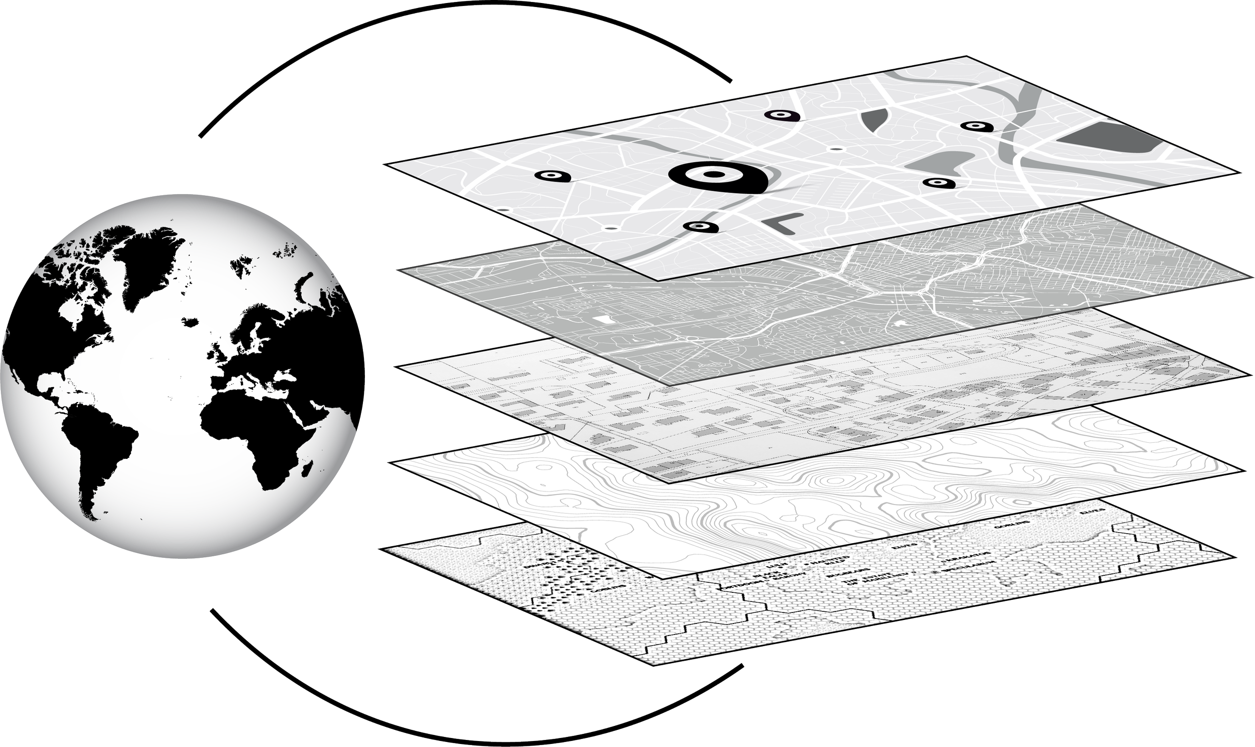
Geographic Information System (GIS) is a geographic tool that allows communities of all sizes to understand the impacts of decisions and policies on a map in a simple and easy to interpret visualization. Everything from updating your official zoning map, to creating park maps, to conducting asset management analysis of your infrastructure can be enhanced through the use of a GIS and digital maps. Let us help you find cost effective ways to serve your community using this powerful tool!
-

Town of Silverton
GIS Development
-

Town of Hot Sulphur Springs
GIS Management